New - 6 Hours Ago

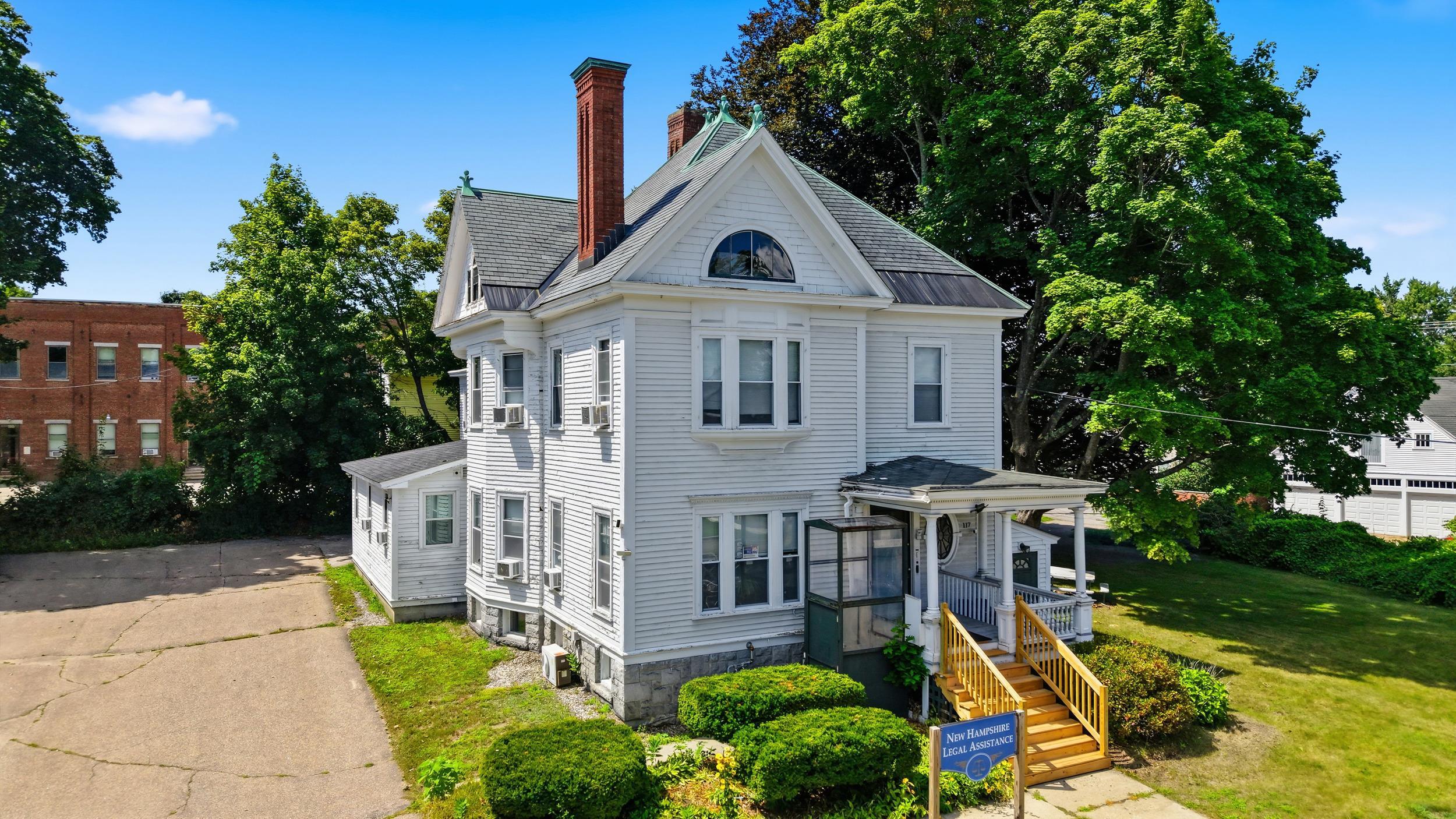
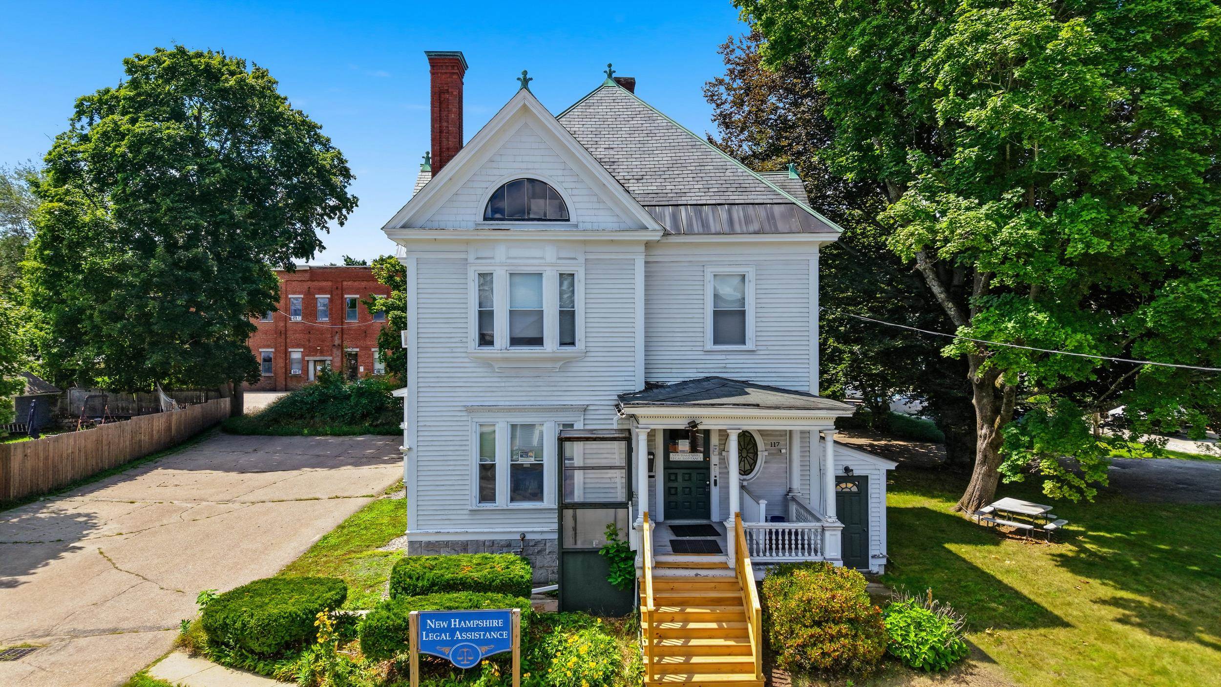




Concord's role as New Hampshire's capital supports a varied commercial and investment market: downtown storefronts and mixed-use buildings, professional and institutional offices, neighborhood commercial property, highway-oriented corridors, industrial sites, multifamily housing and development areas extending into Penacook.
This guide explains how Concord's land-use records, downtown and corridor settings, municipal infrastructure and building stock affect commercial and investment-property decisions. It is educational real estate information, not legal, tax, environmental, engineering, lending or investment advice.
Identify the property's base district, overlays, permitted uses and recorded approvals before relying on an existing occupant or marketing description. A current commercial use does not guarantee that a different business, residential conversion, expansion or site change will be approved.
Concord publishes a detailed Zoning Map Book, planning application materials and zoning information. The City notes that the official map is maintained by the City; online and downloadable maps are research tools rather than surveys.
Downtown Concord includes storefronts, restaurants, offices, institutional uses, apartments and mixed-use buildings. State government, legal and professional services, cultural activity and downtown housing create different demand patterns within the same compact area.
Owner-users should evaluate customer access, public and private parking, signs, deliveries, accessibility, ventilation, fire and life-safety requirements and build-out costs. Investors should review every lease, expense allocation, tenant-improvement obligation, common system and capital project.
Within Concord's Historic District, the Heritage Commission reviews applications to construct, alter, repair, move or demolish structures. A proposed storefront, sign, window, facade, addition or exterior mechanical installation may therefore affect design and timing.
Review the City's Historic District resources, map and regulations, then confirm the specific project requirements with applicable officials and professionals.
Loudon Road, North Main Street, Manchester Street, Fisherville Road, Whitney Road and other commercial or employment corridors have different access, parcel, parking and development patterns. Interstate proximity can support regional service, retail, office, distribution and industrial uses.
Analyze curb cuts, turning movements, signals, shared access, parking, loading, signs, stormwater, utilities, snow storage and neighboring uses. Road visibility is not a substitute for legal access or site functionality.
Industrial, flex, warehouse and development sites require careful review of zoning, access, power, water and sewer, fire protection, loading, outdoor activity, environmental history and expansion potential. Concord's GIS shows approximate utility service areas but expressly does not guarantee the condition, capacity or availability of mains.
Confirm any new connection or capacity assumption directly with the applicable City divisions and utility providers. Budget for engineering, permitting, site work and infrastructure rather than assuming proximity equals service.
Penacook combines village-scale commercial property, multifamily housing, industrial history and redevelopment areas. Its operating and leasing patterns should be evaluated separately from downtown Concord or the city's larger commercial corridors.
Review local access, parking, utilities, building condition, legal use and environmental history. For mixed-use or residential income property, reconstruct current collected rent and actual owner-paid expenses before modeling a future result.
Concord's interactive GIS provides property, zoning, utility and other map layers. The City cautions that tax-lot locations are approximate and not survey quality; some mapped areas have required material corrections.
Use the Interactive GIS Viewer and Assessing database for initial research. Then reconcile them with deeds, title work, surveys, easements, permits, approvals and physical inspection.
Document the proposed use, layout, employees, customers, parking, deliveries, storage, signs, power, ventilation, water and sewer demand, hours and future expansion. A building that looks suitable may fail a critical operational requirement.
Verify use and approvals, inspect the structure and systems, address environmental risk and model taxes, insurance, utilities, maintenance, snow, capital work and improvements. The statewide commercial owner-user due-diligence guide provides the complete framework.
Request leases, amendments, deposits, payment history, operating statements, utility bills, taxes, insurance, service contracts and maintenance records. Distinguish collected income from advertised rent and seller projections.
Include vacancy, management, routine repairs, owner-paid utilities, snow and grounds care and property-specific capital reserves. Model financing separately and stress-test lower income, higher expenses, tenant rollover and major work.
Continue with the New Hampshire investment-property analysis guide and the New Hampshire multifamily hub.
Former industrial, fuel-storage, automotive, dry-cleaning, railroad, fill and other commercial histories may create environmental questions. Concord identifies brownfields and redevelopment programs, but eligibility and assistance are property- and program-specific.
Engage qualified environmental and legal professionals early enough for findings to affect the contract. A Phase I Environmental Site Assessment and additional investigation may be appropriate depending on the property and ownership objectives.
Concord publishes information about Tax Increment Financing districts, Economic Revitalization Zones, brownfields abatements, grants and other programs. Eligibility, funding, timing and economic value must be verified independently.
Use the City's Incentives and Grants and TIF district resources for context, but underwrite a transaction without assuming a benefit will apply.
No. The current use may differ from the proposed operation or may rely on prior approvals or nonconforming status. Confirm the specific proposed use, district, overlays, permits and site requirements.
No. GIS is useful for preliminary research, but mapped tax lots are approximate and utility layers do not guarantee service condition, capacity or availability. Use surveys, engineering and direct confirmation.
Review residential and commercial leases, vacancy, utilities, expenses, tenant improvements and capital requirements separately before combining the property's operating result.
Use the Greater Concord real estate guide for regional context, the Commercial Real Estate hub for owner-user research and the Investment Property hub for underwriting guidance. For a property-specific plan, contact Bean Group.