New - 4 Days Ago





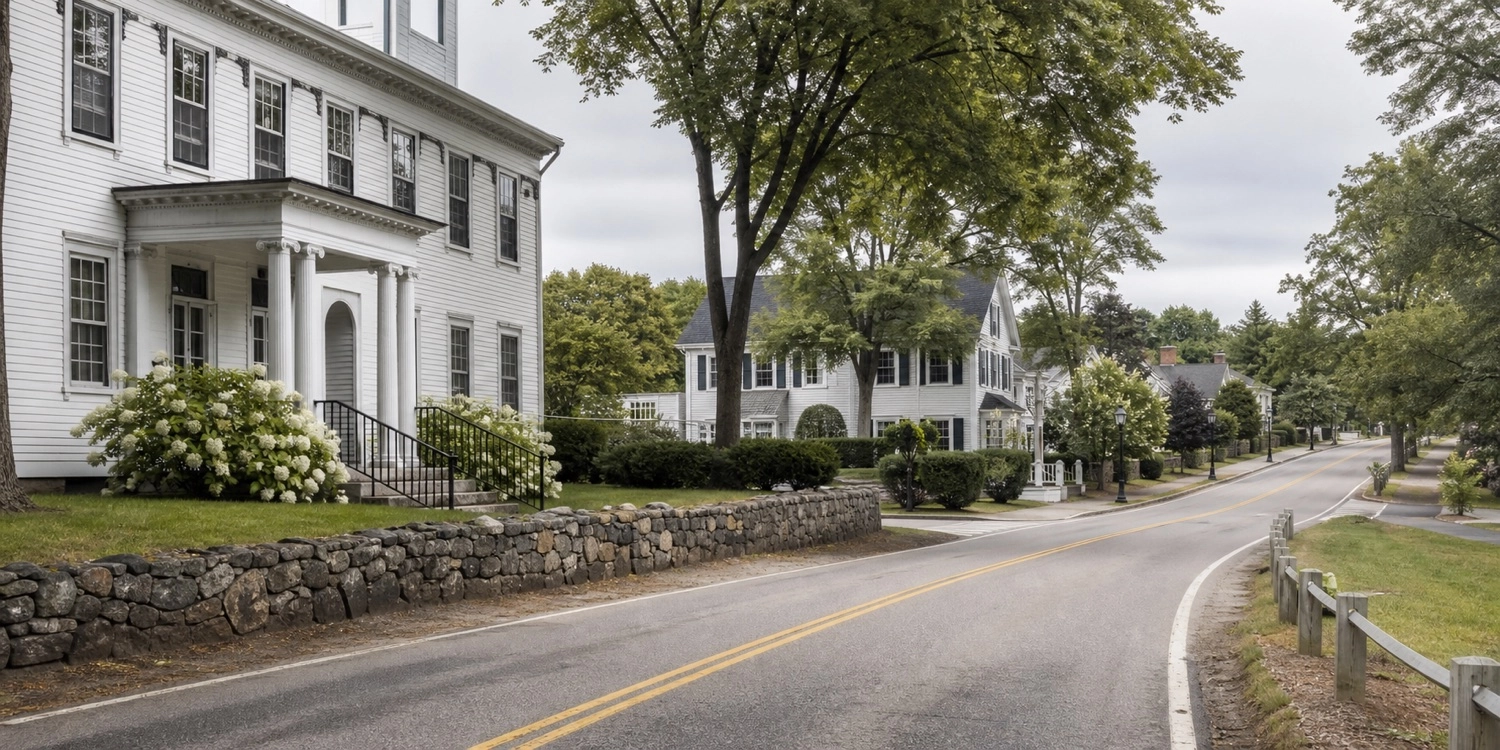
Bedford is better understood as a collection of residential settings than as a town of formally bounded neighborhoods. This guide compares the historic center, western and central residential roads, and the South River Road corridor without turning local geography into unsupported rankings.
Some names used in Bedford describe roads, subdivisions, condominium associations, or informal areas rather than official neighborhoods. The Town's master plan identifies eight character areas, but individual property research should still rely on deeds, surveys, subdivision plans, zoning, and municipal records.
Start with the broader Bedford real estate and market guide, then use this article to narrow the location questions that matter to your search.
The historic Town Center lies west of the Meetinghouse Road and Route 101 intersection. The Town identifies the Old Town Hall, Bedford Presbyterian Church, library, municipal offices, Town Common, and a cluster of historic homes as defining features. The Historic Overlay District can affect proposed exterior work, so buyers should verify whether a parcel is inside it and what review applies.
Route 101 crosses Bedford and provides access to services and regional routes. Residential properties near the corridor can differ in driveway configuration, traffic exposure, topography, and access from homes deeper in subdivisions. Visit at multiple times, confirm access and planned road work, and evaluate noise at the property rather than making assumptions from a map.
Joppa Hill Road, Campbell Road, and nearby western Bedford roads include wooded residential settings and access to conserved or recreational land. The Town's recreation inventory identifies the Joppa Hill property as a substantial open-space and recreation resource. Parcel size, slope, wetlands, utilities, and trail proximity vary.
These central and western corridors connect many established subdivisions and individual residential properties. Buyers may encounter different development eras, road grades, lot configurations, and private-system histories within a short distance. The road name alone does not define value; compare the immediate setting and property characteristics.
Eastern Bedford includes residential roads with convenient connections toward Manchester and South River Road. Proximity to employment, commercial uses, highway access, and the Merrimack River corridor varies. Review zoning and adjacent land uses when a property sits near a transition between residential and commercial districts.
The master plan describes South River Road as Bedford's largest concentration of commercial development, extending roughly six miles from Manchester toward Merrimack. The corridor also includes multifamily, condominium, and mixed-use settings. Buyers comparing these properties should evaluate association structure, traffic, walkability to specific destinations, and highway access rather than treating the whole corridor as uniform.
Bedford includes townhouse, garden-style, detached-condominium, and age-restricted options. Community names and rules should be verified from the current declaration and public offering documents. Read the Bedford condo versus single-family guide before comparing ownership structures.
The historic Town Center is the civic and historic focal point, while South River Road contains the largest concentration of commercial development. They serve different functions.
Walkability is address- and destination-specific. The Town describes most residential neighborhoods as car-dependent, although sidewalks, trails, and nearby services vary.
No. Large-lot single-family development is common, but Bedford also has historic parcels, conventional subdivisions, open-space developments, apartments, townhouses, and condominiums.
View current Bedford listings and confirm the precise location and property details in the listing and public records.
Official sources: Bedford Master Plan and Bedford recreation and open-space inventory.
Equal Housing Opportunity. Area descriptions are objective and do not rank neighborhoods or describe protected-class composition. Verify property, association, school, utility, and municipal information independently.